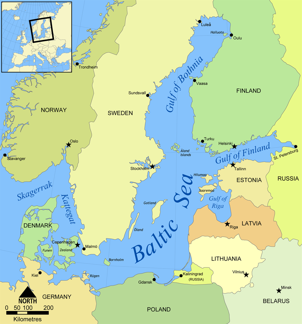
Gulf of Bothnia
The Gulf of Bothnia is part of the Baltic Sea and has a surface area of around 116,300 km2. It is sandwiched between Sweden and Finland. The southern border of the sea is marked off by the Åland Islands. The sea is named after the Swedish name Bottenviken, which in turn means ‘gulf’ or ‘bay’ in Old Norse. The gulf is mainly used as a means of transport, for example for oil, logs or ore. Due to it being located up north, the use of icebreakers can be required during the winter seasons.